
Glinscica catchment
Slovenian demo (Glinščica catchment area) is situated within the borders of the Municipality of Ljubljana that spans roughly 275 km2 and has a population of 284,000 inhabitants. The demo site covers 7.01% of Ljubljana’s surface area, includes 5 of its districts (Dravlje, Šiška, Rožnik, Vič, Šentvid) and accounts for 8.17% (23,200) of its population, which should all be considered stakeholders in flood management. Originating at 409 m.a.s.l., the headwaters in the steep hill slopes of Toško Čelo give the Glinščica Stream a torrential character which, together with advancing urbanization, climate change (less frequent, but higher intensity rainfall) and hard regulations, results in regular flooding of the Vič and Rožna dolina districts of Ljubljana. A detailed description of the study site can be found here.
The aim of Slovenian demo was to prepare a comparison of NBS and grey scenarios for the Glinščica catchment area, valuate the ecosystem services provided by the implementation of restoration and management measures developed within the project and to develop and deploy economic and/or financial instruments (in the form of nature assurance schemes) for effective business models in the field of ecosystem services, green infrastructure and river restoration that would highlight the importance of understanding the value of ecosystems in the long run.
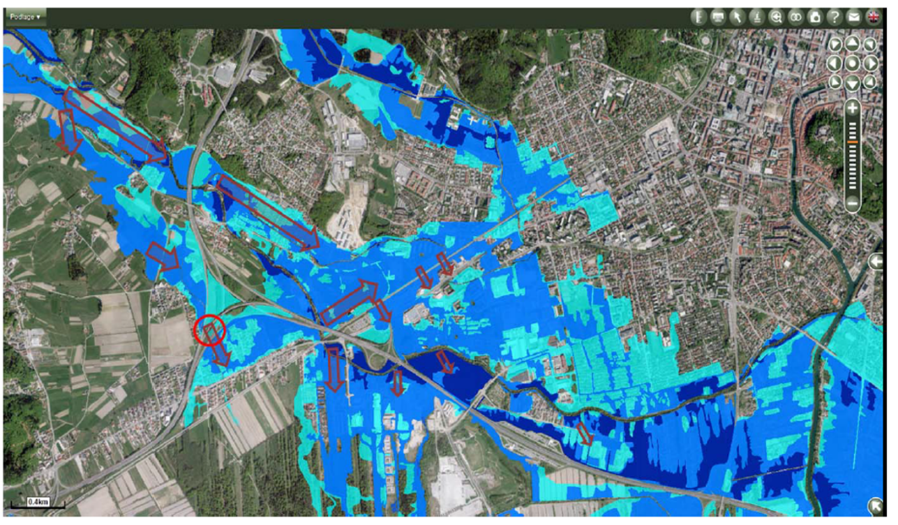
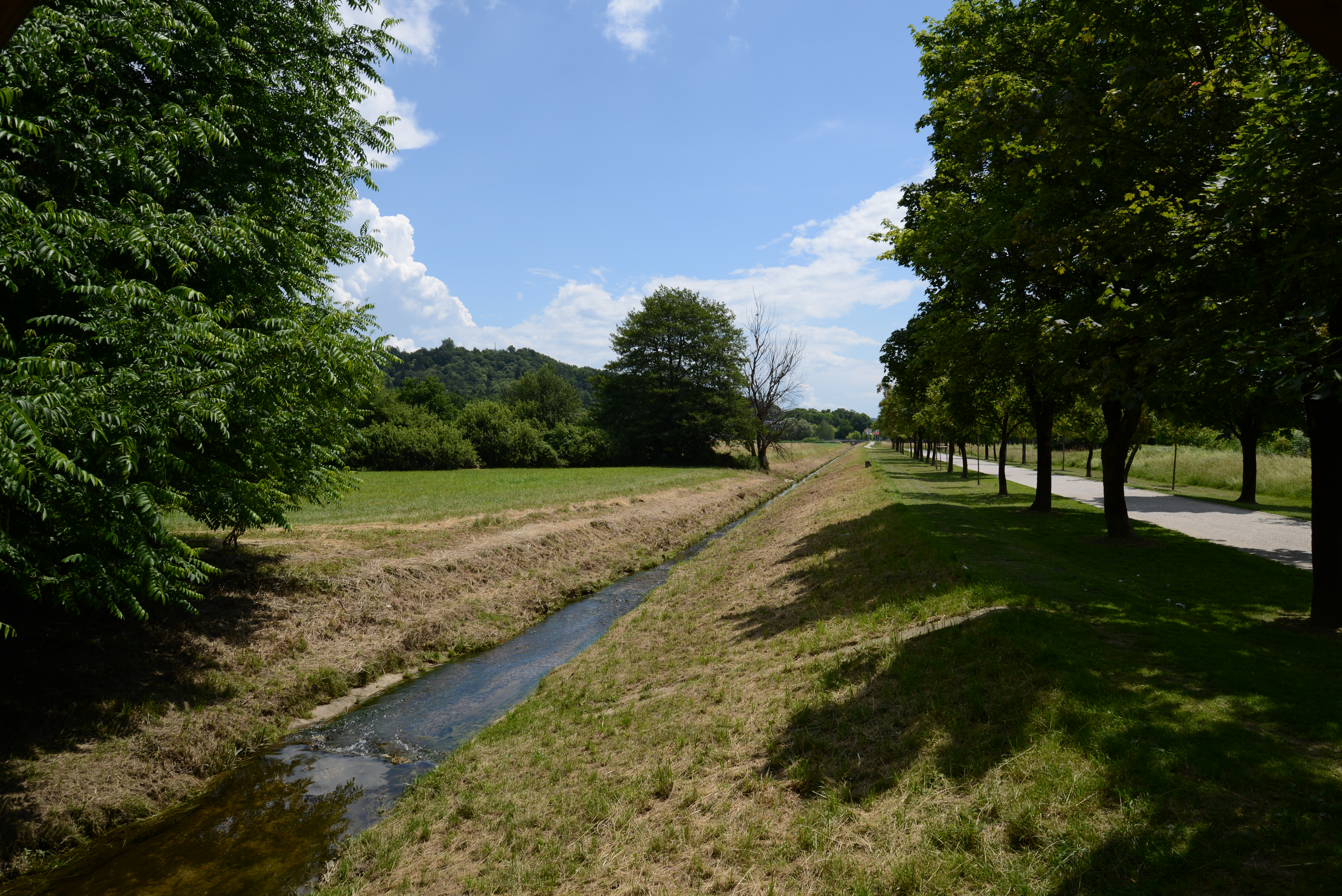
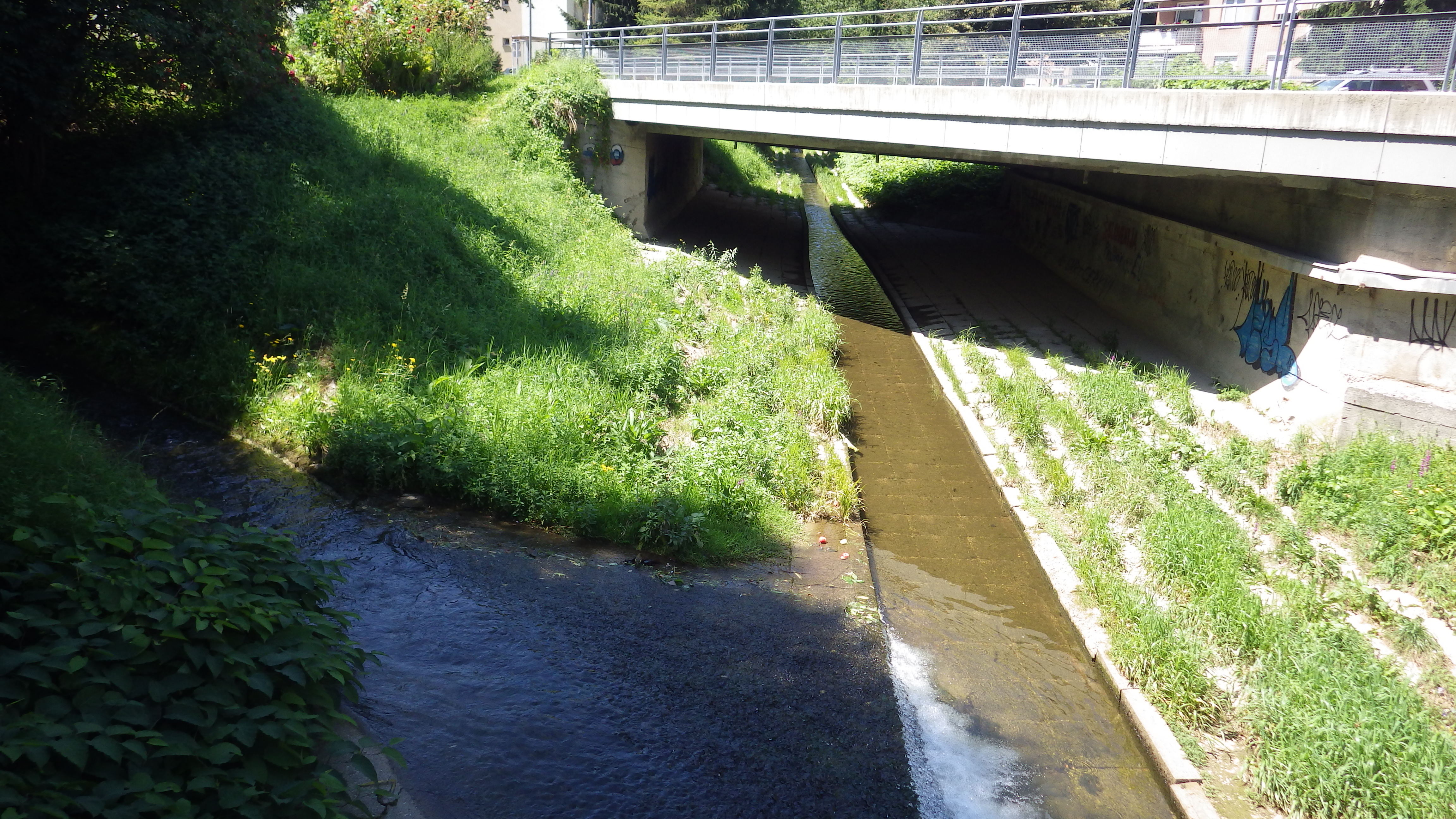
Urban watercourses in Ljubljana are seen as an important component of urban green systems primarily as a network of natural areas which stretch into the urban structure and introduce natural landscape elements in the urban area. However, the lower reaches of Glinščica have been trapped in a concrete channel for several decades and other forms of regulations extend upstream to the mountainous headwaters. Inappropriate regulations are reflected mainly in the high frequency of flood events and low species diversity. Fast drainage through the straightened stream channel brings the flood wave directly into the city center.
Straightened channel and lack of riparian vegetation have also reduced the aesthetic and educational value of the stream as well as the status of the water environment and thus the experiential value of the stream. Therefore, Glinščica ceased to constitute a basis for many of its functions as an urban green corridor:
• hydrological,
• ecological,
• spatio-structural,
• aesthetic,
• sports and recreational,
• and social.
Details about the physical modelling on the Glinščica catchment can be found in D6.2
Flood extent
Flood extent 2010

Flood extent 2014
Straightened Channel & Concrete Lining
Straightened Channel
Concrete Lining
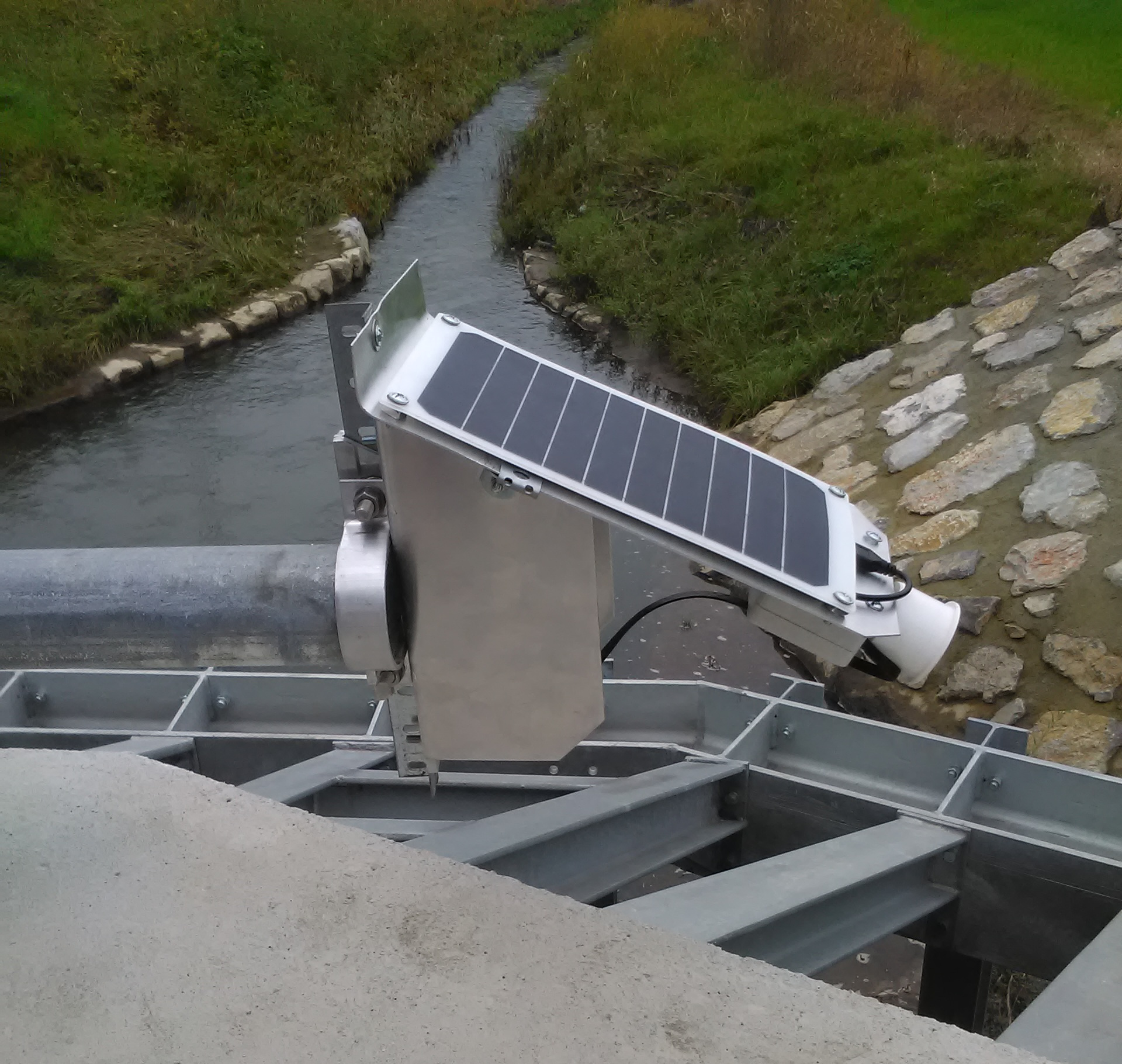
FreeStation
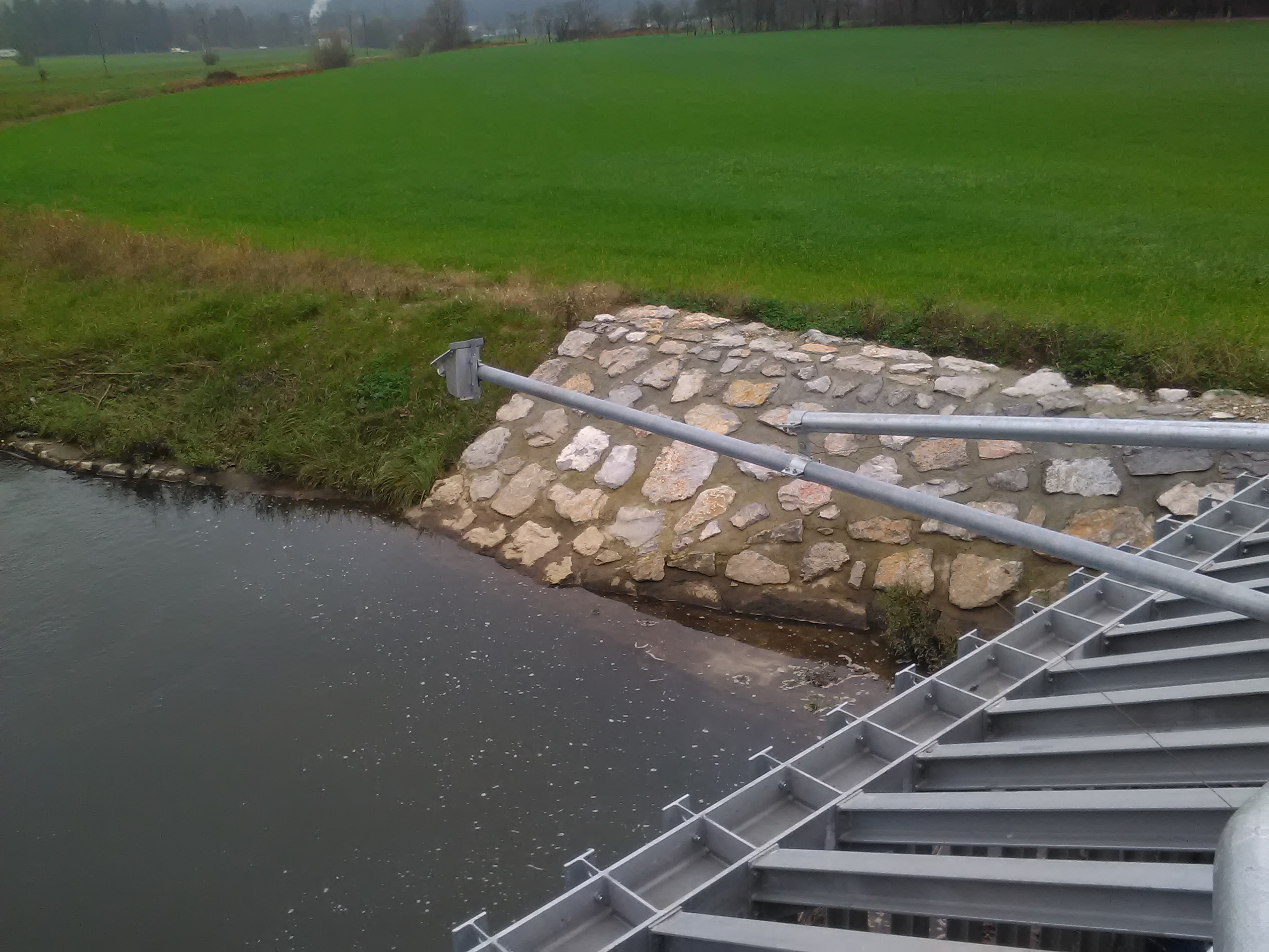
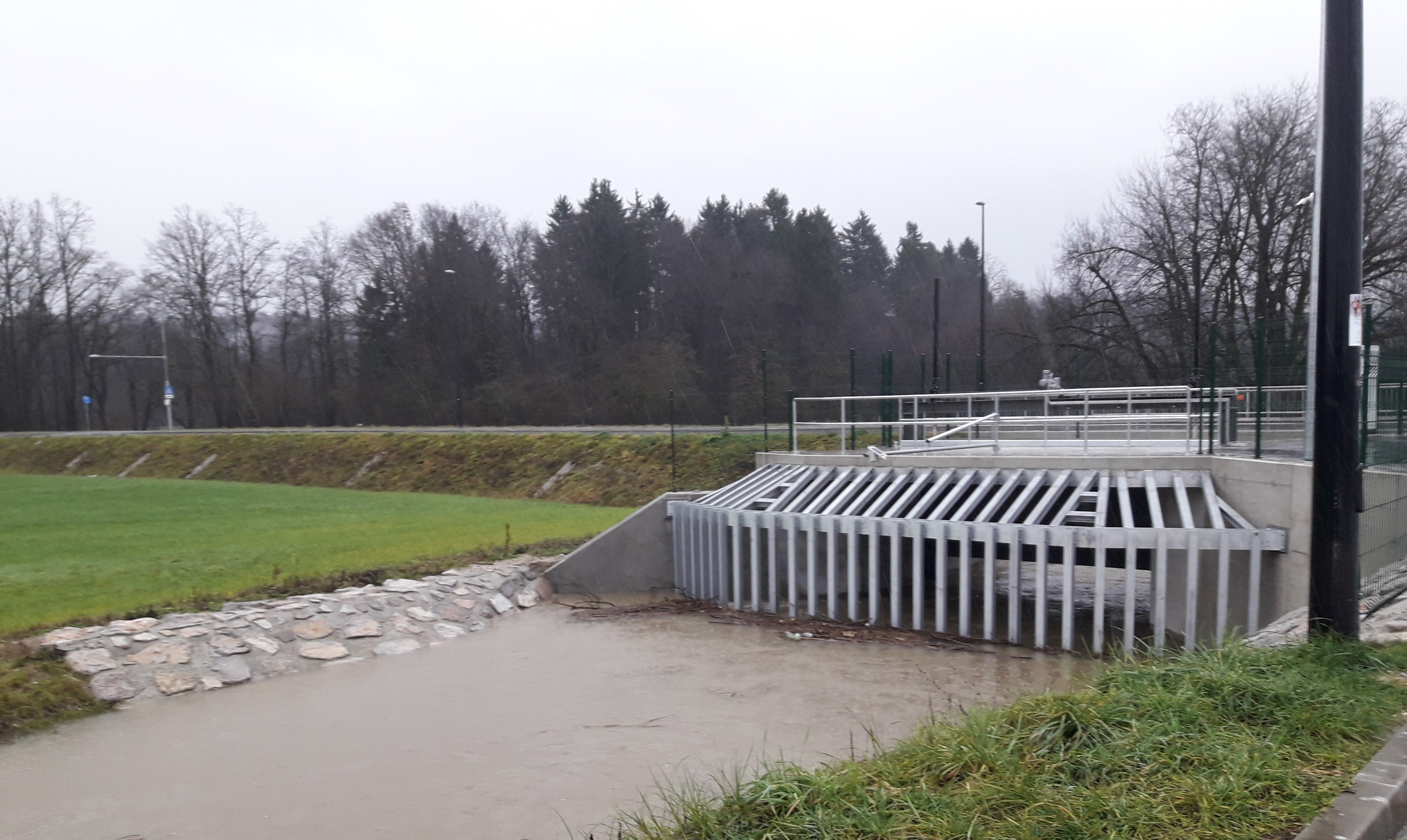
The Freestation is intended to be used in areas where national monitoring network is not yet implemented or predicted, but the data would be highly valuable to either local interest groups, residents or municipalities. Since it is much cheaper than most other monitoring stations (one FreeStation costs around 200 $), it is realistic to expect that all stakeholders would be able and willing to invest in such equipment, given the benefits. The FreeStation is made by “open source” principle, so research data can be accessed by anyone. Precise instructions for ordering specific parts and building the Freestation yourself are also available online for free. Gathered data from the Glinščica demo will be available to the general public online, where it is going to be used in various analyses and forecasts of flooding. The data that is being collected is: Air temperature, humidity of air, air pressure and water level(s), it can as well be upgraded with data measurements of rainfall and wind speed. Data are collected and recorded into a Google Sheet. Data is being transferred through a telephone network or wi-fi network, by using a SIM card. Using the solar panels, electricity is provided from the sun, which is why the FreeStation is completely independent and can be implemented also in very remote areas, besides that, the maintenance demands are minimal (requirement is that solar panels are clean and without any damages from rainstorms. Data can be collected every hour or every minute. Data can also be collected continually, depending on capacity of the battery. The more data, the faster the battery empties out. As there is not a lot of sun in rainy seasons, a compromise is needed.
Stakeholders' perception, co-benefits definition and trade-off assessment
| Description
This participatory modelling approach aims at engaging stakeholders in the definition of the co-benefits to be produced through the NBS implementation. To this aim, individual risk perception and problem understanding are collected and analysed. Ambiguity analysis is, then, implemented in order to detect the main differences among the involved stakeholders. The individual perceptions and the results of the ambiguity analysis are, then, used for developing a System Thinking model capable to simulate different intervention scenarios. Two modelling approaches were implemented in NAIAD, i.e. Fuzzy Cognitive Mapping and System Dynamic Modelling. Both modelling approaches allow: i) to integrate different kinds and knowledge – i.e. scientific and stakeholders-based – and data; ii) to account for the complex and non-linear interactions among the different elements affecting the NBS effectiveness in reducing water-related risks and producing the expected co-benefits; iii) to describe the system evolution over time. The developed models are, then, used for detecting and analysing potential trade-offs between different beneficiaries. NBS and the associated co-benefits have many potential uses with different values attached, that can be perceived differently from different beneficiaries. Neglecting these differences and ignoring the consequences of trade-offs may lead to conflict, and thus to policy resistance mechanisms. The adopted modelling approach introduces the trade-offs analysis in the early phase of the NBS design process. |
| Categories of users:
Water management Municipalities Policy-makers EU and national level consultancy agencies |
| Applications to decision making in the insurance sector:
It allows the exploration of different intervention scenarios. Useful approach to identify trade-offs among different adaptation strategies |
| Added value of this modelling approach/model/results:
The NAIAD results allow to emphasize the need to account for the individuals’ perception of risk and co-benefits in order to develop a shared understanding of NBS effectiveness in producing co-benefits. Besides, by integrating quantitative modelling approaches (System Dynamic Model) and qualitative analysis (Fuzzy Cognitive Mapping), this result allows to simulate NBS scenarios, and to detect and analyse trade-offs among stakeholders due to the NBS implementation. Compared to existing approaches, the NAIAD result emphasizes: i) the need for collecting and analysying individual inputs; ii) the need for including the time dimension in the trade-off analysis. |
| What decision (in the insurance sector) can be improved with this modelling approach:
It facilitates the choice between NBS and other management strategies |
| References/links to relevant publications:
Giordano, R., Pluchinotta, I., Pagano, A., Scrieciu, A., & Nanu, F. (2020). Enhancing nature-based solutions acceptance through stakeholders’ engagement in co-benefits identification and trade-offs analysis. Science of the Total Environment, 713. https://doi.org/10.1016/j.scitotenv.2020.136552 Santoro, S., Pluchinotta, I., Pagano, A., Pengal, P., Cokan, B., & Giordano, R. (2019). Assessing stakeholders’ risk perception to promote Nature Based Solutions as flood protection strategies: The case of the Glinščica river (Slovenia). Science of the Total Environment, 655, 188–201. https://doi.org/10.1016/j.scitotenv.2018.11.116 Pagano, A., Pluchinotta, I., Pengal, P., & Giordano, R. (2019). Science of the Total Environment Engaging stakeholders in the assessment of NBS effectiveness in fl ood risk reduction : A participatory System Dynamics Model for benefits and co-benefits evaluation, 690, 543–555. https://doi.org/10.1016/j.scitotenv.2019.07.059 |
Video
| Description |
| The Glinščica catchment demo teaser is a 4 minute video produced towards the end of the NAIAD project to visualize and explain in a short, clear and easy way what was done in the project. It is meant to intrigue people into wanting to know more and potentially apply similar methods and approaches in their own work or location. It is publically available on youtube and shared through online media (FB, Twitter, newsletters, Web Pages,…) and in different events. A longer version of the video is also available and used in events with highly interested public. |
| Categories of users |
| The video has been specifically produced for the general public, but the expert and decision-making stakeholders from the spatial planning and risk management sectors also form an important target group that can get the first impression of the methods and approaches taken. |
| Applications to decision making in the insurance sector |
| NA |
| Added value of this result |
| Presents the project activities and results in an understandable manner for the general public, thus reaching a wider public and building bottom up initiative for NBS on the local level. |
| What decision (in the insurance sector) can be improved with this modelling approach |
| NA |
| References/links to relevant publications |
| https://www.youtube.com/watch?v=dT_zMHge-eM&t=0s |
| For further information, please contact |
| Polona Pengal at polona.pengal@ozivimo.si
Glinščica demo Leader and NAIAD DEMOs coordinator |
E-guide Links
E-guide Contact Information
- María Máñez Costa
- maria.manez@hzg.de
- Vladimir Metelitsa
- vladimir.metelitsa@hzg.de